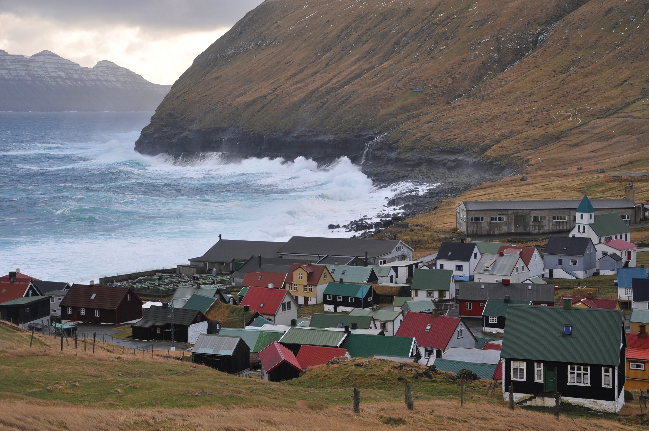
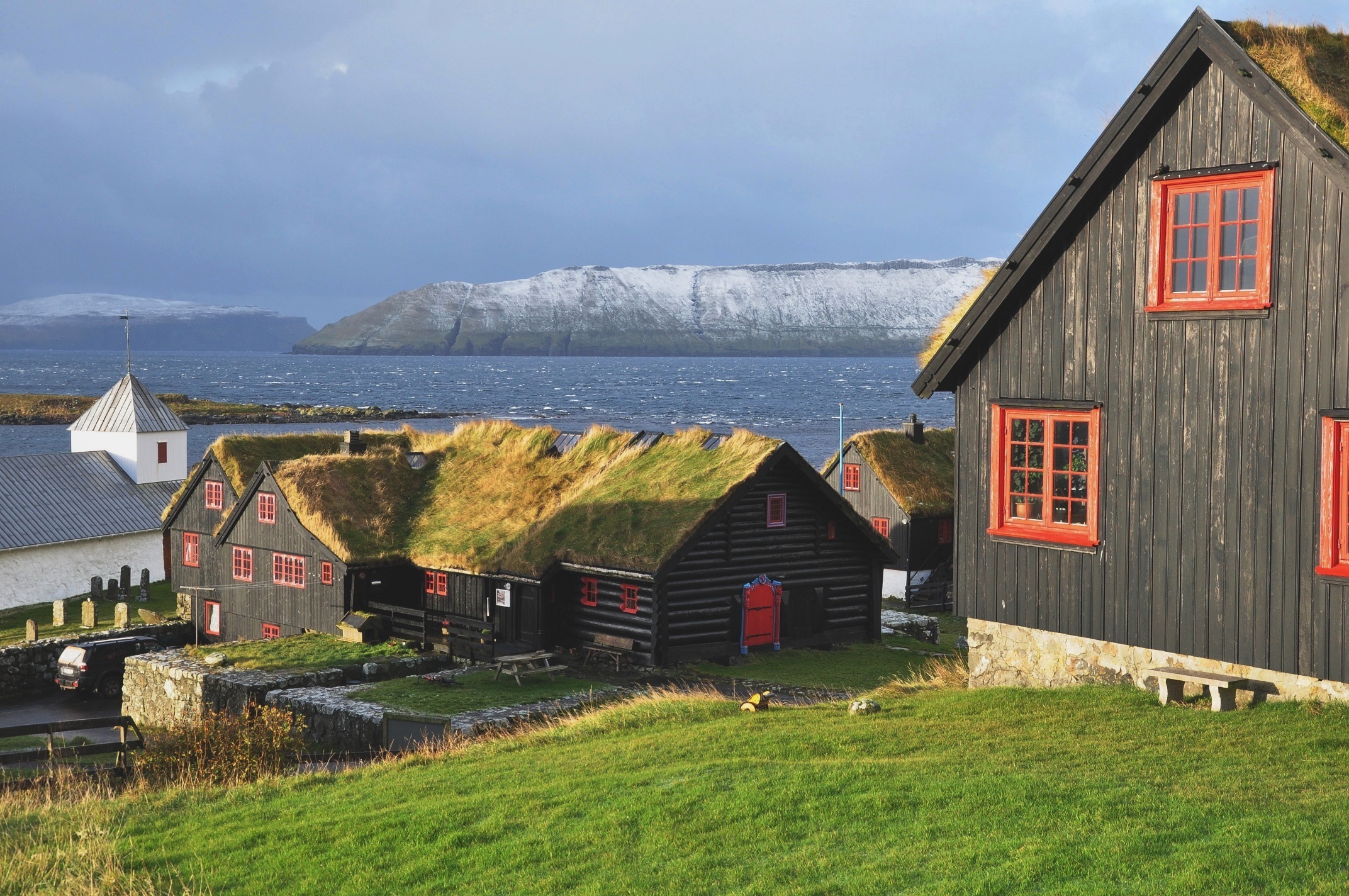
The Faroe Islands reward patience more than almost any destination in Europe. Eighteen green, treeless islands rise straight out of the North Atlantic between Iceland and Scotland, laced with sea cliffs, turf-roofed villages, and waterfalls that drop off the land into the ocean. The Múlafossur falls at Gásadalur, Lake Sørvágsvatn appearing to float above the sea, and the gorge harbor at Gjógv are the images that pull people here. Most first-timers picture a tidy week of postcard stops and underestimate how completely the weather runs the show.
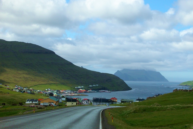
The thing first-timers underestimate most is the weather and the logistics that flow from it. Fog, wind, sun, and rain trade places within a single afternoon even in July, and the Mykines ferry and the Vestmanna boat tours are cancelled often when the swell rises. The islands are linked by sub-sea tunnels that are tolled and billed by plate, by mountain tunnels that are free, and by a handful of ferries to the outer isles. A rental car is close to essential, distances are slower than they look, and several famous trails now cross private land and charge a fee. None of it is hard; it just rewards building slack into the plan.
This guide is the layer that sits above the day-by-day itineraries. Base in Tórshavn, match the season to what you want (June to August for the long light, the puffins, and the running ferries), book the Mykines crossing the moment your dates are set, and leave a buffer day for the weather to turn. Do that and you'll spend your days at the waterfalls, on the cliffs, and in the turf villages you came for, not stuck at a fogged-in harbor wishing you'd booked ahead.